
MAPS & TRAILS
FIND YOUR ROUTE
Vail Pass covers 55,000 acres of motorized, non-motorized, and hybrid-use terrain. Carry a map or GPS and track your location, cell service is unreliable.
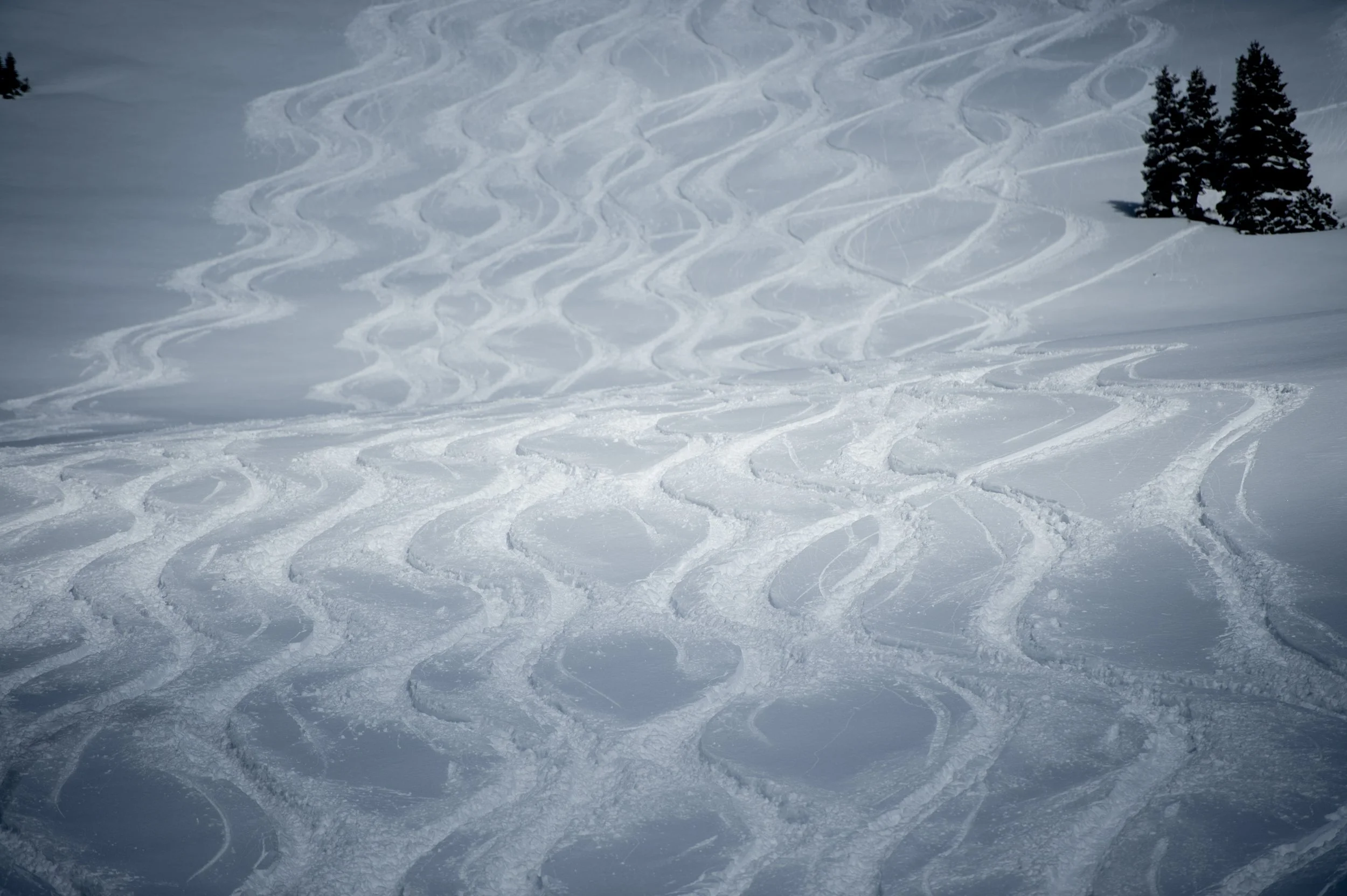
(Photo: Topher Donahue)
START HERE
The official maps
Download the U.S. Forest Service map, or get the georeferenced layer in Avenza to see your location offline, anywhere in the area.
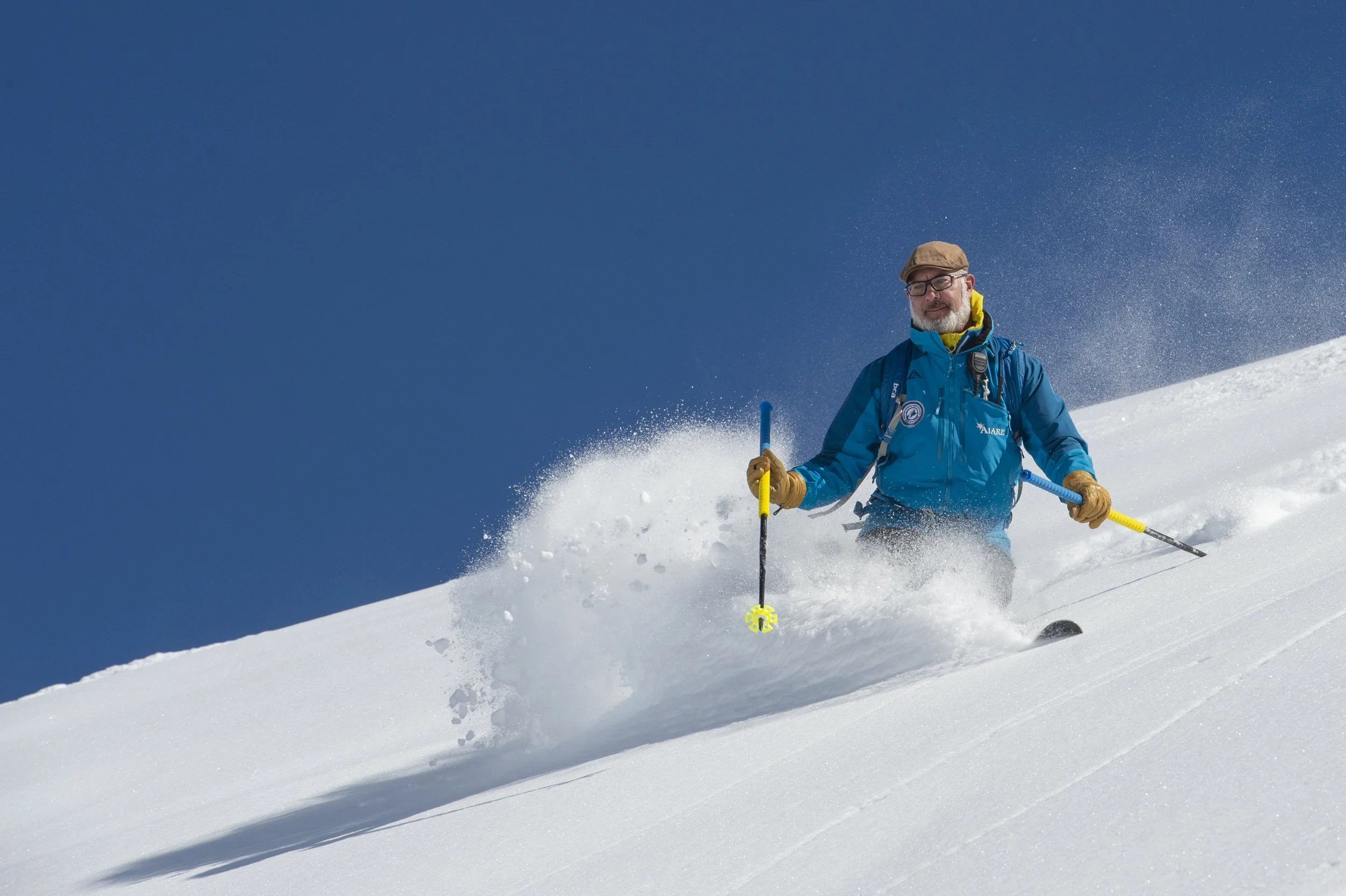
(Photo: Topher Donahue)
No routes match those filters. Try widening your selection.
BY USE TYPE
ROUTES FOR EVERY USER
Terrain is organized by how you travel. Know your zone, stay on marked routes, and respect the other user groups you share the pass with.